This was our first glimpse of Waimea Canyon which is a large fissure that runs down through the western side of the island. This is the 'end' of the canyon at the south end. To get to this part of the island we had to drive all around to the south part of the island and then back north up Highway 550. Our little car did a great job, although we labored in 1st gear up some of the steeper parts of the drive. In about 18 miles you go from sea level to over 3600 ft which explains why the city of Waimea at sea level is permeated with the distinct smell of burning brakes and clutches.

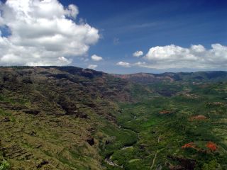
Notice the patches of bright red dirt in the lower right corner. Locally you can buy Red Dirt Shirts (C) which are shirts stained using the local iron rich soil. We bought some and I was happy that I got the local discount.
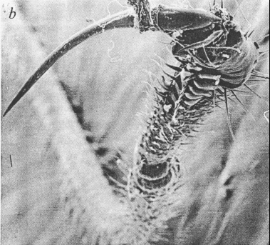 (closeup of the tarsal claw)


